Touristik Label - 9
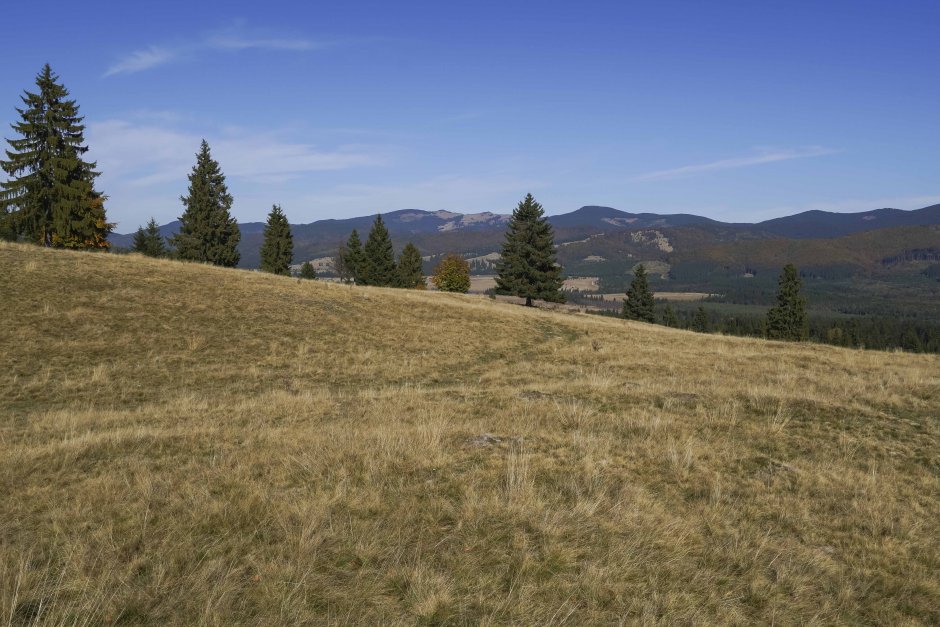
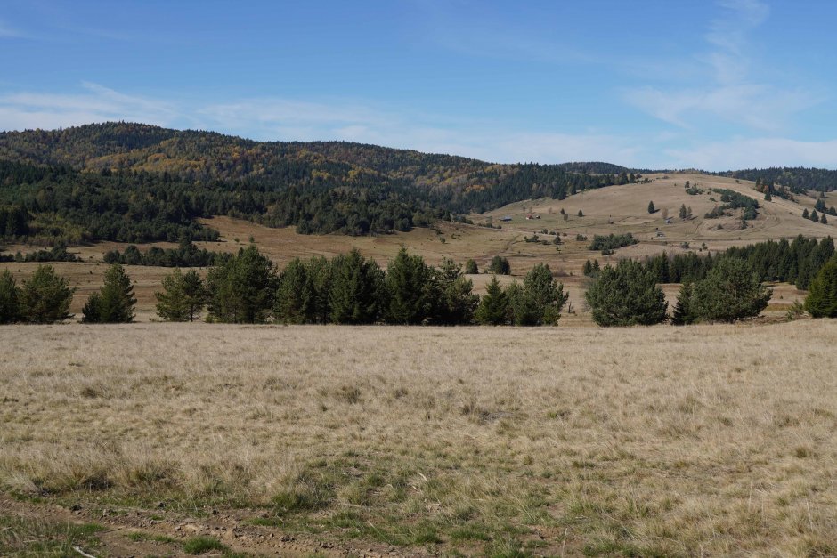
27MN16: Estelnic - Vf. Răchitiș - Estelnic

0

Trail Details [ro]

Dificultate
mediu
Distanţă
19,00km
Durată
7:00-7:30h
Urcare
672m
Coborâre
672m

Tabs

Indicaţii de orientare

The trail starts (together with the red cross trail) from the northern edge of Estelnic village, near a fountain. It follows the gravel road along Estelnic creek for 1 kilometer, up to its confluence with Matis brook. From here it continues on the dirt road past a forest lodge, to follow Clopotel...

Vă rugăm să vă autentificați pentru a vedea mai multe detalii
Etape

Estelnic - Culmea de Mijloc - Dl. Clopoţelului - Vf. Răchitiș - Poiana Varga - Piatra Astag - Obârșia Apa Lină - Culmea de Miljoc - Estelnic

Observații

Trail markers are extremely scarce and damaged.

Vreme

Persoane care au contribuit si comentat


Estelnic - Vf. Răchitiș - Estelnic în Covasna, Nemira este un traseu de Drumeţie mediu.
0
0 voturi

Comentarii

Comentariul dumneavoastră