Touristik Label - 1005MN11: Azuga - Piciorul Sorica - Telegondola Azuga

0

Trail Details

Difficulty
medium
Distance
4,70km
Duration
2:00-2:30h
Ascent
605m
Descent
15m

Tabs

Directions

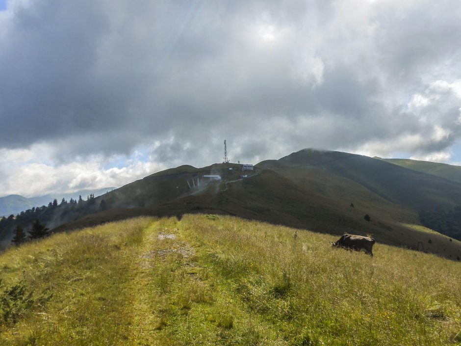
The trail starts in Azuga and climbs from the first bus stop south of the bridge over Azuga stream along the dirt road on Sorica ridge and takes you below the peak with the same name. Turn to the west and reach the upper end of Sorica ski slope and the gondola station.

Please login in order to view more
Stages

Azuga - Piciorul Sorica - Telegondola Azuga

Observations

Trail markers are sparse between the way out of the forest on Sorica secondary ridge and the gondola station.

Weather

People who contributed


Azuga - Piciorul Sorica - Telegondola Azuga in Postăvaru, Piatra Mare, Baiului, Prahova is a medium Hiking trail.
0
No votes yet

Comments

Your Comment