Touristik Label - 729MN16: Căldările Zăbalei - Şaua Furu - Vintileasca

0

Trail Details

Difficulty
medium
Distance
18,60km
Duration
7:15-8:00h
Ascent
856m
Descent
907m

Tabs

Directions

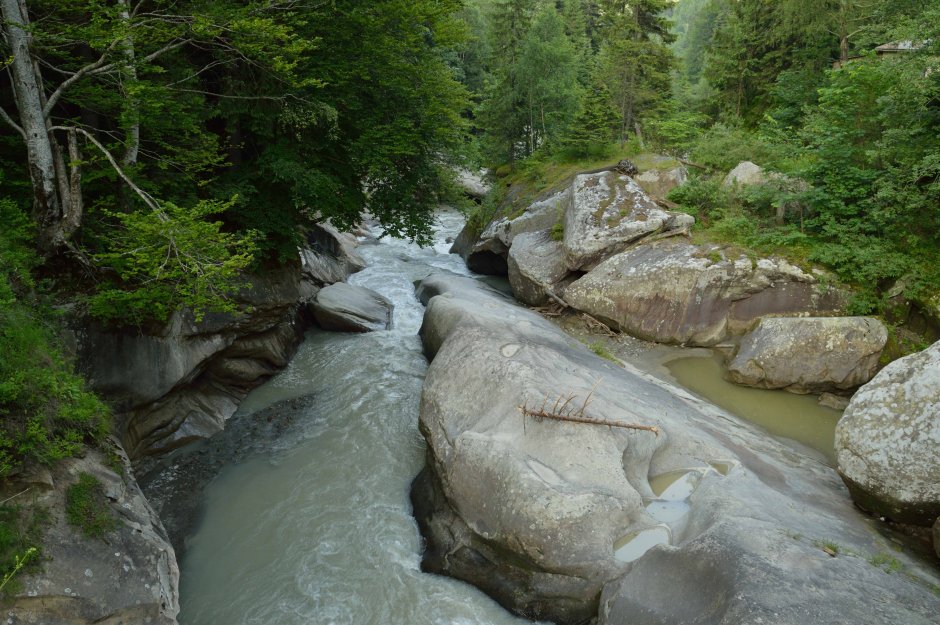
The starting point for the trail is the bridge over Zabala river, located a few meters upstream from the water-dug rocks known as Caldarile Zabala. Take the forest road that forks to the left, walk past the buildings of some forest units and enter the basin of Zarna Mica valley, on its left slope...

Please login in order to view more
Stages

Căldările Zăbalei - Şaua Furu - Vintileasca

Observations

No trail marking between Caldarea Zabala and the area below Furu Mare Peak; old trail marking between the sheepfold below Furu Mare Peak and Vintileasca (there are almost no trail markers on the last 7.5 kilometers of gravel road); the red stripe marking is also present on certain sections between the sheepfold below Furu Mare Peak and Vintileasca.

Weather

People who contributed


Căldările Zăbalei - Şaua Furu - Vintileasca in Vrancea, Buzău, Vrancei is a medium Hiking trail.
0
No votes yet

Comments

Your Comment