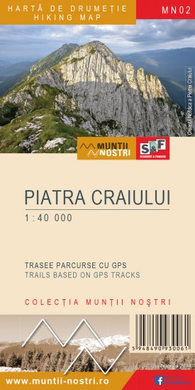
Touristik Label - 602MN24: intersecţie trasee PR-TA-Refugiul Funduri-intersecţie trasee PR-TA

0

Trail Details

Difficulty
medium
Distance
0,22km
Duration
~0:15h
Ascent
0m
Descent
100m

Tabs

Directions

The trail starts from the ridge line at an elevation of 1937 m (intersection with the blue triangle and red dot trails). Descend the winding path for 5 minutes to the hemispherical mountain hut, Refugiul Funduri (1880 m). In 5 more minutes reach the intersection with the blue triangle trail.

Please login in order to view more
Stages

intersecţie trasee PR-TA - Refugiul Funduri (1880 m) - intersecţie trasee PR-TA

Description

Weather

Dâmbovicioara
45.4989°N
25.1954°E
Today
19.5
16.1
Tomorrow
15.9
13.2
Wednesday
12.2
12.2
Rain: 0.57
Thursday
7.3
7.3
Rain: 0.16

People who contributed


intersecţie trasee PR-TA-Refugiul Funduri-intersecţie trasee PR-TA in Piatra Craiului, Argeş is a medium Hiking trail.

Tags

0
No votes yet

Comments

Your Comment