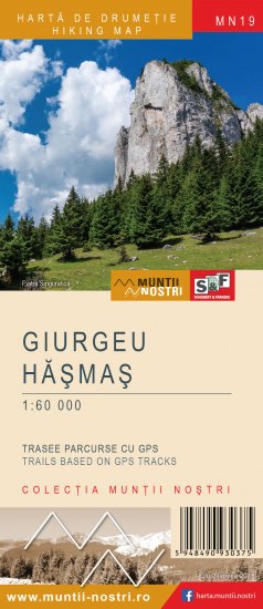
The map of Giurgeu - Hasmas Mountains (MN19) is the 19th map of the new Muntii Nostri collection.
The map was edited using the latest mapping techniques and it was printed on moisture resistant paper. It is easy to read and simple to use due to the mapping styles, specific to Schubert & Franzke company, and as a result of practical information structuring. It is handy and everything is exactly where it should be. The map is useful for both hiking enthusiasts and professionals.
The Lacul Rosu area and the Borsec area was digitized at a more detailed scale: 1 : 35000 and 1 : 20000.
All the trails have been recorded in the field using a GPS. They are described in detail in both Romanian and English, some trails having representative images attached to them. Each trail has a technical box containing: trail marking checked in the field, trail route, profile with major landmarks, data on difficulty, length, total ascent, total descent, round-trip time, practicability depending on the season and so on. The map also contains the UTM grid, a projected coordinate metric system useful in the quick measurement of distances on the map. Shading and contour lines highlight the landscape and facilitate orientation.
 19MN11: oraş Gheorgheni - Vf. Borzoca - oraş Gheorgheni
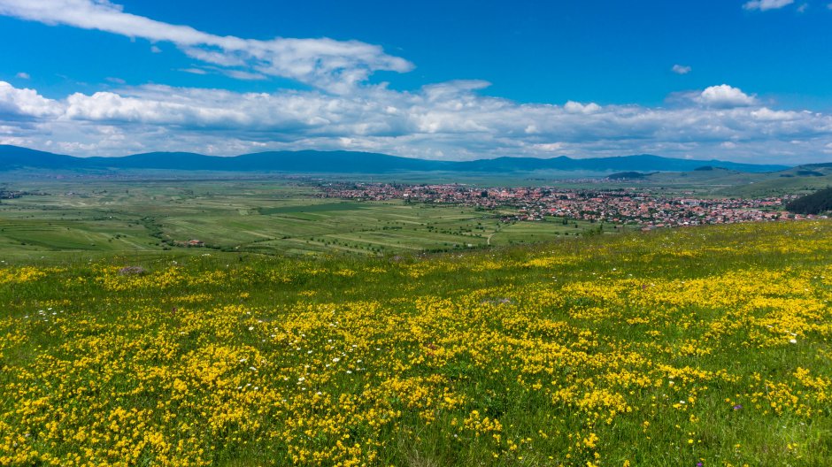


Comments