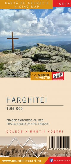
The map of Harghitei Mountains (MN21) is the 21th map of the new Muntii Nostri collection.
The map was edited using the latest mapping techniques and it was printed on moisture resistant paper. It is easy to read and simple to use due to the mapping styles, specific to Schubert & Franzke company, and as a result of practical information structuring. It is handy and everything is exactly where it should be. The map is useful for both hiking enthusiasts and professionals.
The Harghita Madaras, Hargita-Bai, Mount Ciomatu areas was digitized at a more detailed scale: 1 : 25 000 and the Varghisului Gorge area was digitized at a more detailed scale: 1 : 10 000.
All the trails have been recorded in the field using a GPS. They are described in detail in both Romanian and English, some trails having representative images attached to them. Each trail has a technical box containing: trail marking checked in the field, trail route, profile with major landmarks, data on difficulty, length, total ascent, total descent, round-trip time, practicability depending on the season and so on. The map also contains the UTM grid, a projected coordinate metric system useful in the quick measurement of distances on the map. Shading and contour lines highlight the landscape and facilitate orientation.
All tracks and some waypoints will be able to be downloaded from our website and iPhone and Android applications will dissipate the nostalgic aura of the map, giving the product the technical complexity required for this century.
Enjoy this map up on the sunny peaks of Harghitei Mountains, scrutinizing the horizon for the neighboring peaks, which will soon give the names of the following maps of Muntii Nostri hiking map collection.
 21MN49: oraş Vlăhiţa (capătul nordic) - Vf. Fagii Roşii - Staţiunea Harghita-Băi
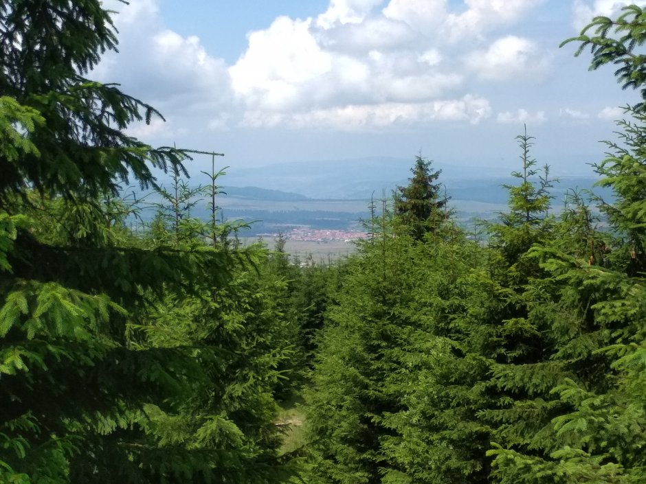


Comments