 01MN52: Valea Bângăleasa - Vârful Bucşa
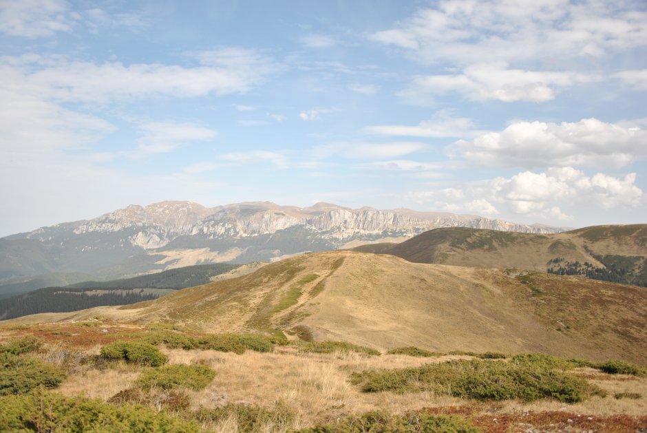
Trail 52 (red triangle) is a medium/difficult trail, appropiate for those who are used to differences in elevation of nearly 700 m, a continuous 3-hour hike. The path climbs on the foot of Grohotis Ridge, with views of the steep slope of Grohotis every now and then, then it gets out into the alpine area and climbs on Bucsa Peak.
Trail Details
Difficulty
medium/hard
Distance
3,11km
Duration
2:15-2:45h
Ascent
650m
Descent
0m
Peak
1830m
Gallery
Tabs
Weather
Best Seasons
January
February
March
April
May
June
July
August
September
October
November
December
People who contributed

Valea Bângăleasa - Vârful Bucşa in Bucegi - Leaota, Braşov is a medium/hard Hiking trail.


Comments