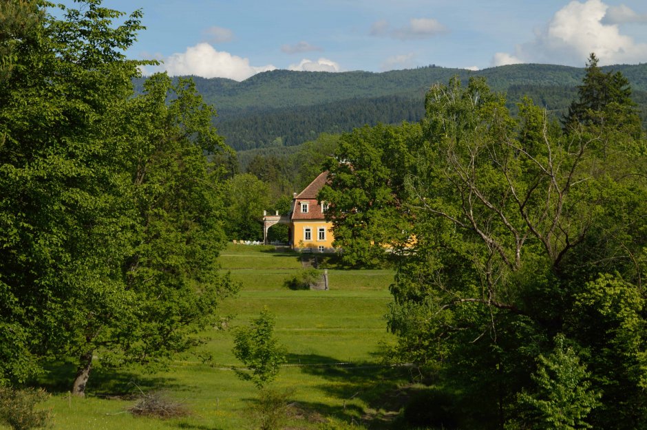
The trail starts in the center of the village, near the Reformed Church. It runs for 350 meters in an easterly direction, past the Roman Catholic Church of the Ascension of the Holy Cross, and then takes a road to the left (north). For the next 1.1 kilometers, it runs past the local cemetery and...
Please login in order to view more 29MN32: Zăbala - Vârful Valoşul Mic - Pava
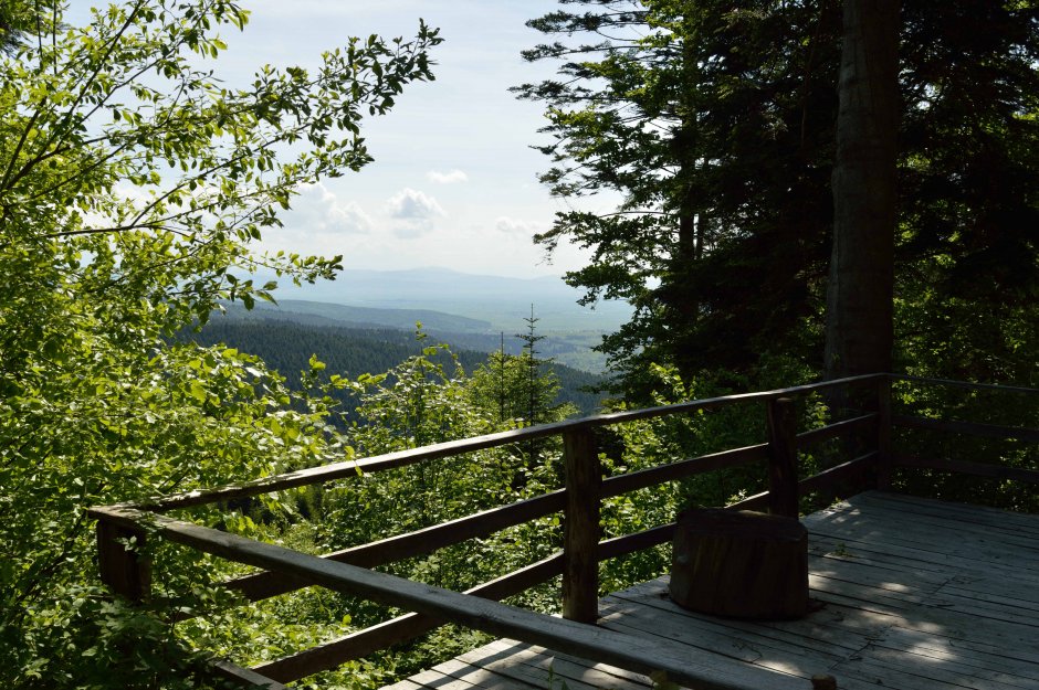


Comments