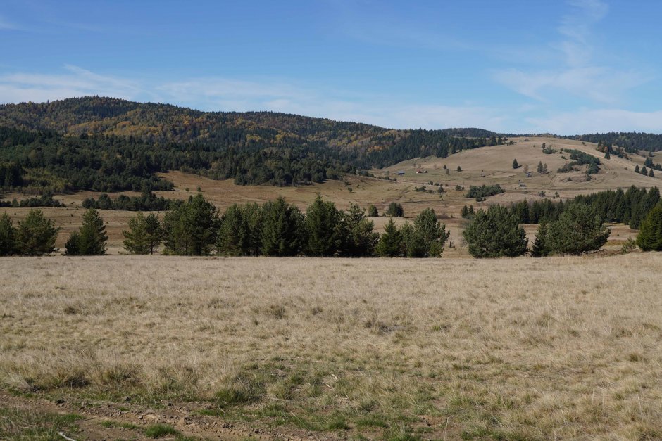
The trail starts (together with the red cross trail) from the northern edge of Estelnic village, near a fountain. It follows the gravel road along Estelnic creek for 1 kilometer, up to its confluence with Matis brook. From here it continues on the dirt road past a forest lodge, to follow Clopotel...
Please login in order to view more 27MN16: Estelnic - Vf. Răchitiș - Estelnic
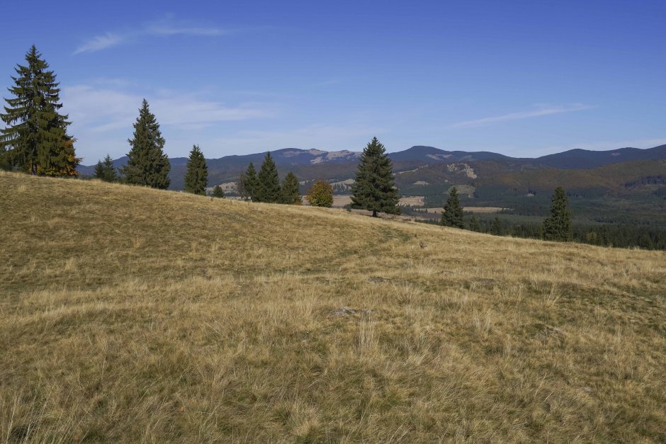


Comments