Touristik Label - 1
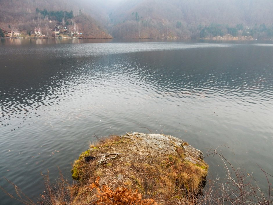
11MN19: Coada Lacului Tarniţa - Golful Râșca - Barajul Tarniţa

0

Trail Details

Difficulty
hard
Distance
15,13km
Duration
~6:00h
Ascent
1160m
Descent
1145m
Peak
616m

Gallery

Tabs

Directions

The trail connects the tail of Tarnita Lake to Tarnita Dam, on the northern shore of the lake. It is not recommended to do the walk between Rasca Valley and Tarnita Dam on rainy days. The starting point is on DJ107P county road, at the junction with the road that descends to the tail of the lake....

Please login in order to view more
Stages

Coada Lacului Tarniţa - Golful Râșca - Barajul Tarniţa

Description
Observations

In the area of Rasca Cove, blue stripe trail markers lead to a point where you can only cross through deep water. It is recommended to leave the marked trail here, continue on the contour line to the second stream to the left and return to the trail markers along Rasca Creek. In winter, the trail is dangerous between Tarnita Dam and Rasca Cove. The path crosses steep and narrow gullies that are slippery.

Weather

Best Seasons

January
February
March
April
May
June
July
August
September
October
November
December

People who contributed


Coada Lacului Tarniţa - Golful Râșca - Barajul Tarniţa in Gilău - Muntele Mare, Cluj is a hard Hiking trail.
0
No votes yet

Comments

Your Comment