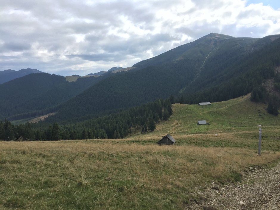
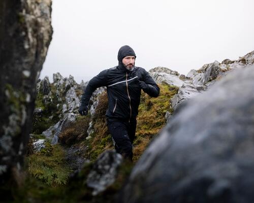
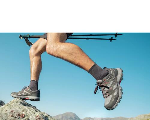
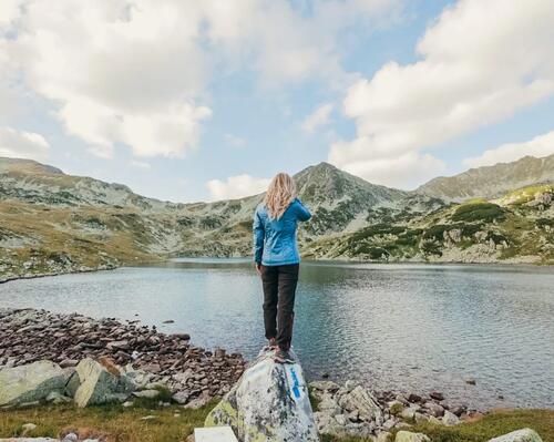
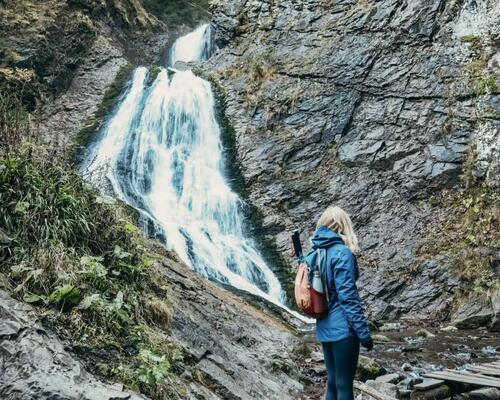
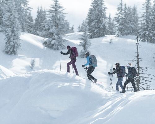
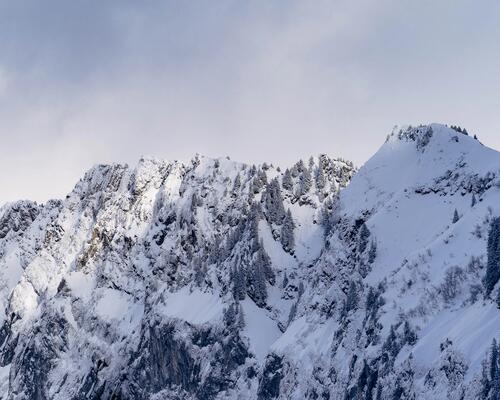
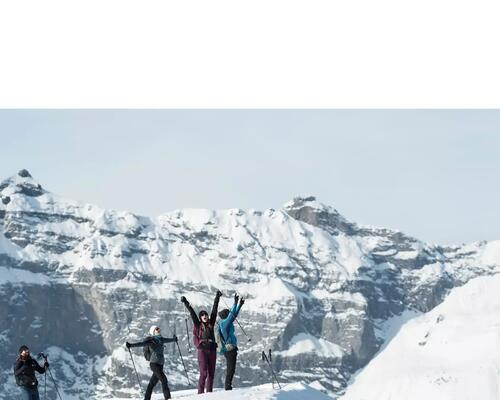
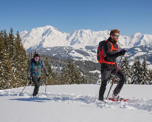
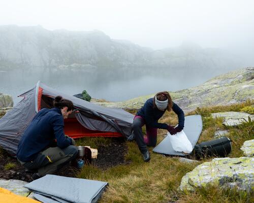
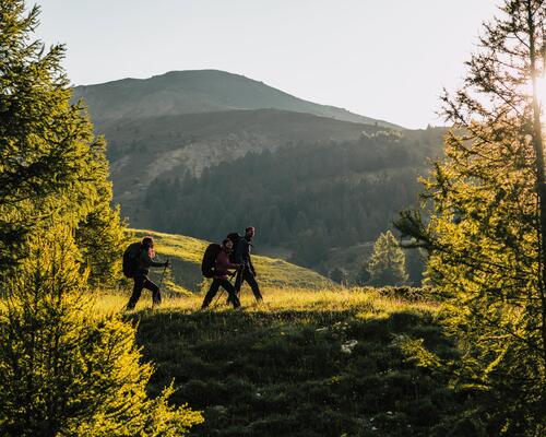
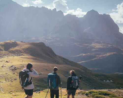
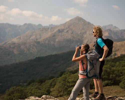
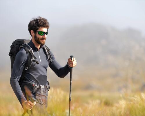
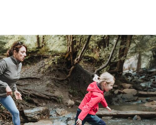
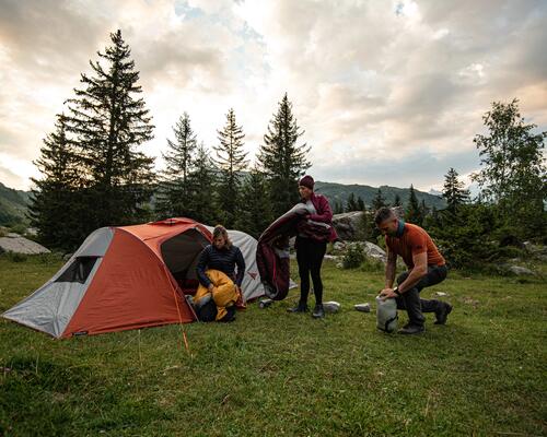
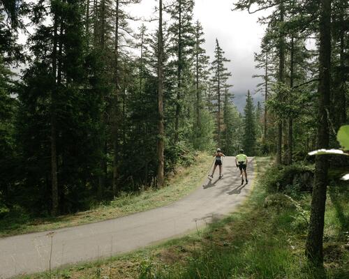
 15MN02: Sat Miţa-Şaua Terha
Trail Details
Gallery
Tabs

Weather
Best Seasons
People who contributed


Alegerea încălțămintei de drumeție pentru femei cu picioarele sensibile
În timpul drumeției, te dor adesea picioare și nu te poți bucura din plin de traseu?Descoperă cum alegi încălțămintea de drumeție dacă ai picioarele sensibile.
Cum alegi un ceas GPS?
Dacă ești în căutarea unui smartwatch sau a unui ceas cardio-GPS pentru alergare sau multisport, descoperă recomandările noastre, pentru a face cea mai bună alegere!
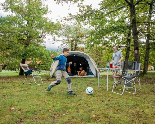
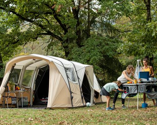
Checklist pentru echipamentul de camping
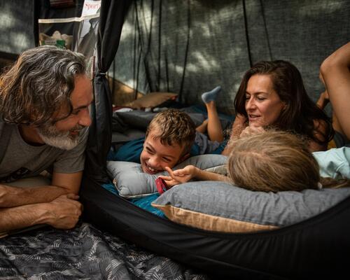
Indiferent de destinație, regăsești în acest checklist tot echipamentul de care ai nevoie pentru camping, astfel încât să nu uiți nimic înainte de a pleca cu cortul, alături de familie sau prieteni.
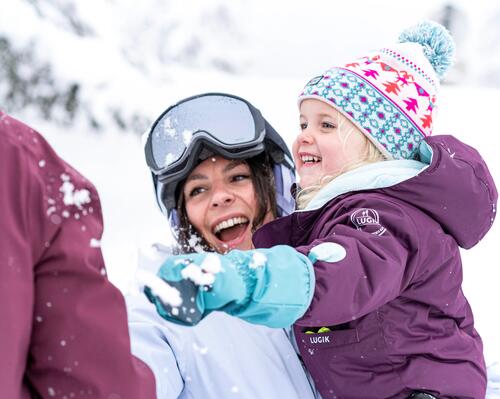
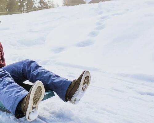
9 activități în zăpadă, pentru copiii cu vârsta de peste un an
Ai planificat o vacanță într-o zonă cu zăpadă? Însă încă nu știi ce activități distractive ai putea face cu bebelușul tău.
Ce să alegi pentru drumeție: geaca, pulover sau polar?
În drumeție, alegerea celui de-al doilea strat călduros depinde de 3 criterii: intensitatea efortului, temperatura exterioară și efectul de protecție împotriva vântului sau hidrofobia acestui strat.
Cum alegem jacheta pentru drumeție?
În timpul drumeției vremea se poate schimba rapid, iar din acest motiv este important să ai cu tine o jachetă impermeabilă.
Cum să-ți alegi pantalonul scurt pentru drumeție?
Printre îmbrăcămintea de drumeție, pantalonul scurt se distinge de celelalte obiecte vestimentare deoarece oferă libertate de mișcare maximă.
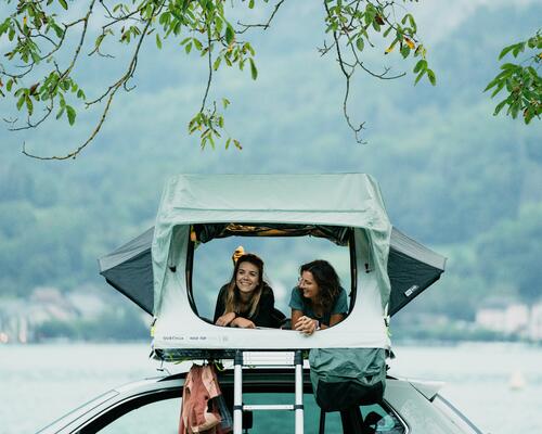
Cum alegi cortul pentru plafonul mașinii?
Ți-e dor să pleci la drum și să trăiești noi aventuri? Suntem ghidul tău și te ajutăm să alegi cel mai bun cort pentru plafonul mașinii tale, după nevoile tale!
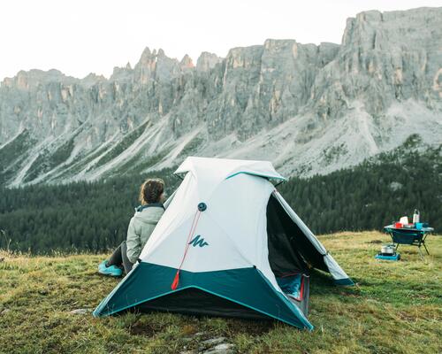
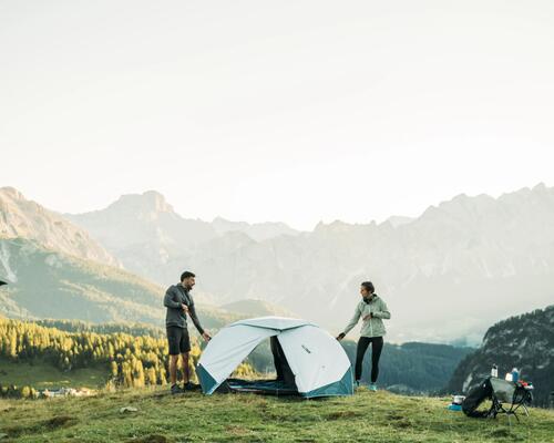
Cum să-ți alegi cortul? Cort pentru camping sau trekking?
Găsești aici toate sfaturile pentru a alege cortul potrivit pentru ieșirile în bivuac sau camping. Greutate, număr de persoane, tip de montare, utilizare: toate criteriile au fost studiate minuțios pentru a te ajuta să faci cea mai bună alegere!
Cum să alegi polarul de drumeție?
Descoperă sfaturile noastre, ce te vor ajuta să alegi polarul de drumeție potrivit
Jachetele impermeabile: Cum să le alegi
Cum sa alegi jacheta impermeabila pentru adulti ● Cum alegi jacheta impermeabila pentru copii ● Jachete softshell ● Jachete hardshell ● Decathlon
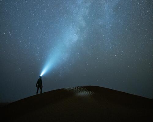
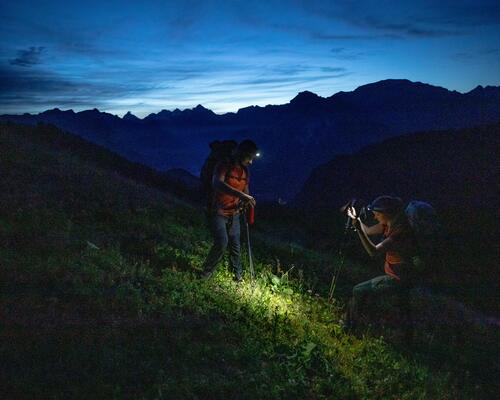
CUM ALEGI O LANTERNĂ FRONTALĂ
Putere de iluminare, baterie, lățimea fasciculului, etanșeitate, funcții: alegerea unei lanterne frontale nu este întotdeauna simplă. Citește ghidul nostru, pentru a alege cea mai bună lanternă, potrivită nevoilor tale!
Cum alegem o geacă din puf sau vatelină?
Îți dorești să achiziționezi o geacă pentru trekking sau drumeție, dar nu știi pe care să o alegi? Descoperă recomandările noastre pentru a face cea mai bună alegere!
De ce să alegi produse sportive Second Hand
De ce și cum să alegi produse sportive Second Hand
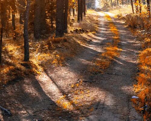
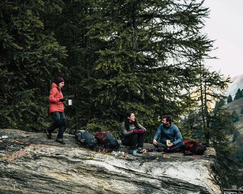
5 trasee inedite pentru cele mai spectaculoase peisaje de toamnă
Iată 5 idei de drumeții pe care le puteți face anul acesta, pentru a vă bucura de culorile toamnei
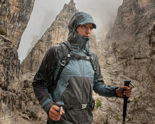
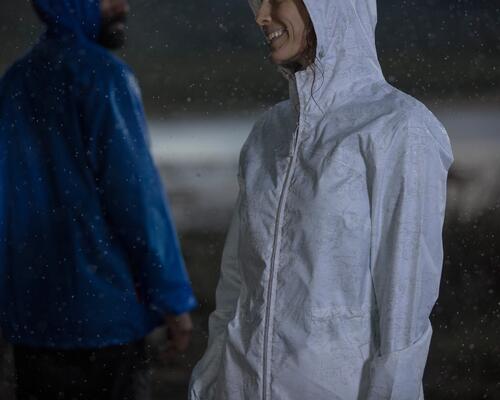
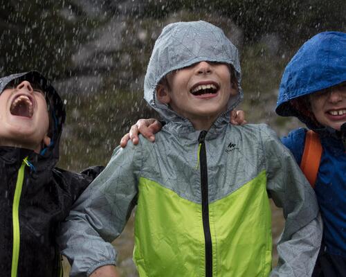
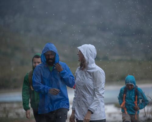
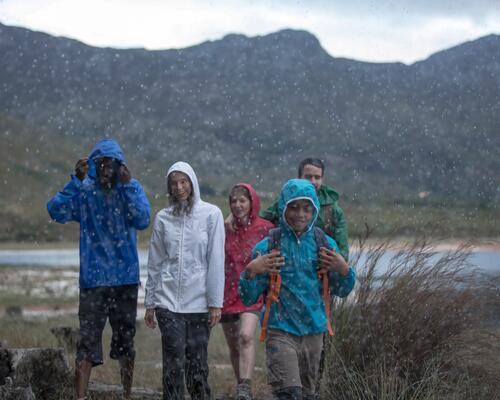
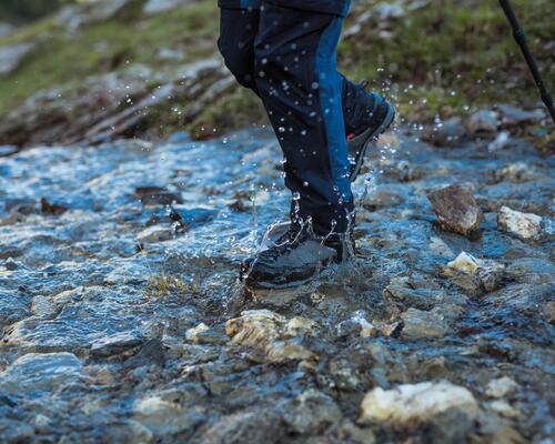
7 RECOMANDĂRI PENTRU O DRUMEȚIE REUȘITĂ PE TIMP DE PLOAIE
1/ AI NEVOE DE HAINE IMPERMEABILE… DIN CAP PÂNĂ-N PICIOARE 2/ NU UITA DE ÎNCĂLȚĂMINTEA IMPERMEABILĂ, FIE CĂ MERGI PRIN PLOAIE, ZĂPADĂ SAU VEGETAȚIE ÎNALTĂ 3/ PROTEJEAZĂ-ȚI FAȚA DE APA CARE SE SCURGE DE PE GLUGĂ
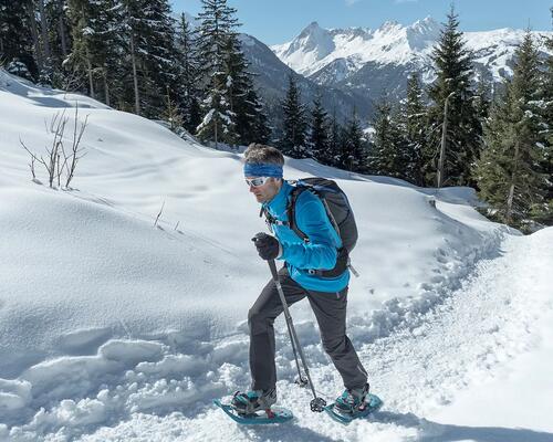
Ce echipament să alegi pentru drumeția pe zăpadă? Rachete de zăpadă sau antiderapante?
Este momentul potrivit pentru a pleca în drumeții pe zăpadă, fără a exista riscul de a aluneca! Îți prezentăm diferențele care există între antiderapante și rachetele de zăpadă, pentru a te bucura de drumeții în deplină siguranță.
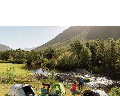
LOCURI DE CAMPING: UNDE MERITĂ SĂ ÎȚI PUI CORTUL ÎN ROMÂNIA?
România beneficiază de numeroase forme de relief, printre care munți și litoral, unde se poate realiza una dintre cele mai relaxante și aventuroase activități: campingul. Există foarte multe locuri de camping în România, unele cunoscute, altele mai puțin cunoscute, în care mersul cu cortul sau rulota poate fi o adevărată plăcere. Află din acest articol ce trebuie să iei cu tine și care sunt locurile de campare a rulotelor și corturilor în România ce merită vizitate.
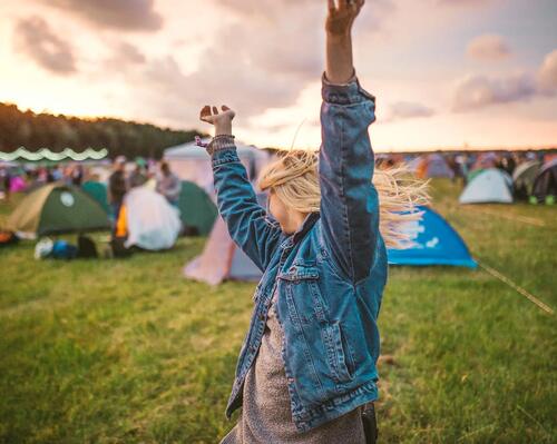
IDEI DE ȚINUTE ȘI ACTIVITĂȚI LA FESTIVALURI DE VARĂ
Pregătește-te de festival cu cele mai cool haine și echipamente
CUM SĂ TE MENȚII ÎN FORMĂ ÎN CONCEDIU: TOP SPORTURI
Cum sa faci sport in concediu - sfaturi si trucuri ● Top activitati fizice de practicat in concediul la munce ● Top sporturi pe care le poti practica

TABERELE PENTRU COPII LA MUNTE: SPORT, RELAXARE, SOCIALIZARE
Taberele de copii la munte, locul unde sportul se îmbină cu relaxarea și socializarea
Lista echipamentului necesar pentru trekking la munte
Simți că a venit timpul să faci trekking pentru prima oară? Iată o listă cu echipamentul esențial pentru călătoria ta!
5 trasee de drumeție în Brașov, cu șanse de apusuri superbe
Află unde să te recreezi la sfârșit de zi și unde să te umpli de energia naturii, în drumeție.
SĂRBĂTORIȚI ZIUA COPILULUI CU CELE MAI DISTRACTIVE ACTIVITĂȚI!
Planuri de 1 Iunie? Planifică activități distractive și ușor de îndeplinit. Află care sunt sfaturile noastre pentru o zi reușită.
GHIDUL DRUMEȚULUI PENTRU TRASEUL VIA TRANSILVANICA
Via Transilvanica este un traseu de aproximativ 1.200 de kilometri care dezvăluie 2.000 de ani de istorie a Transilvaniei, de la Putna la Drobeta Turnu‑Severin.
Cele mai frumoase lacuri din România: 10 destinații ideale pentru drumeții
Iubesti natura si peisajele fermecatoare? Citeste articolul nostru despre cele mai frumoase lacuri din Romania si alege-ti urmatoarea aventura!
TRASEELE MONTANE DIN ROMÂNIA – ÎNCERCĂRI ȘI EXPERIENȚE PLĂCUTE PENTRU AMATORI ȘI PROFESIONIȘTI
Ce zone montane din România merită să vizitezi? 4 dintre cele mai frumoase zone de munte din România potrivit turiștilor străini Top 5 trasee montane din România preferate de cunoscători
NOI RECICLĂM, PENTRU CA TU SĂ TE BUCURI DE DRUMEȚIE!
Polarele Forclaz 50
TOP 15 CELE MAI FRUMOASE CASCADE DIN ROMÂNIA PE CARE LE POȚI VEDEA ÎN DRUMEȚII
Cascade din Maramureș Cascade din Caraș-Severin Cascade din Bihor
Trasee montane: Topul celor mai frumoase drumeții din România
Natura este o sursă de inspirație pentru noi, pasionații de trasee montane!
Top stațiuni montane din România pentru iubitorii sporturilor de iarnă
Top stațiuni montane din România pentru iubitorii sporturilor de iarnă. Vezi recomandările Decathlon.ro pentru vacanța ta de la finalul acestui an.
Cele mai frumoase trasee de drumeție la munte pentru copii
Află care sunt cele mai frumoase trasee montane de parcurs alături de cei mici, pe Valea Prahovei.
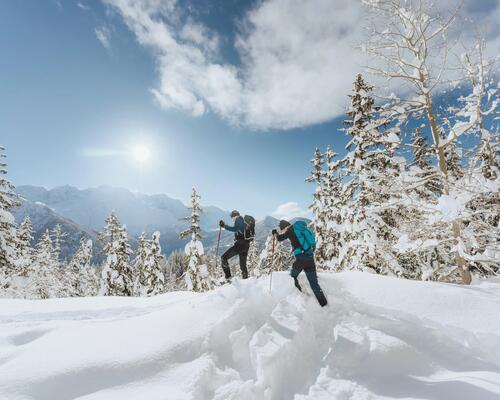
Drumeții pe timp de iarnă: Trasee recomandate și sfaturi utile
Află ce drumeții pe timp de iarnă poți realiza în zonele montane ale României, cum te echipezi corespunzător și ce măsuri de siguranță trebuie să iți asumi.
Altitudine și Aclimatizare
Află ce este răul de înălțime, cum apare și cum îl poți evita.
Cum citești corect o hartă
Dincolo de GPS și Google Maps: cum hărțile montane pot fi cel mai bun partener de drumetie în munți sau în oraș.
Arsurile solare - de ce apar si cum le poti preveni
Arsurile solare - când apar, cum se manifestă și ce poți face ca să le previi Ce sunt arsurile solare și când apar Când apar arsurile solare
7 SFATURI PENTRU A VĂ MENȚINE PIELEA USCATĂ ÎN TIMPUL DRUMEȚIEI
ALEGE ECHIPAMENTUL IMPERMEABIL DE BAZĂ PROTECȚIE PENTRU PICIOARE PROTEJEAZĂ-ȚI FAȚA DE APA CARE SE POATE SCURGE DE PE GLUGĂ
Sfaturi pentru drumeție în siguranță
Verifică prognoza meteo Anunță familia cu privire la traseu și ora estimată de întoarcere Respectă atât ritmul tău de deplasare, cât și a celor care te însoțesc
ȘOCUL HIPOTERMIC – CE ESTE ȘI CUM ÎL PREVII
➤Care sunt simptomele hipotermiei ➤ Cand trebuie sa mergi la doctor ➤ Cum poti preveni socul hipotermic
CU POLARELE NOASTRE ECOLOGICE, PLASTICUL SE TRANSFORMĂ ÎN HAINE.
Da, deja se știe faptul că putem face super polare în întregime din PET-uri reciclate.
8 SFATURI PENTRU EVITAREA APARIȚIEI BĂTĂTURILOR ÎN TIMPUL DRUMEȚIILOR
Care este primul reflex de evitat în ceea ce privește apariția bătăturilor? Am auzit deseori că trebuie să alegem o mărime mai mare decât cea obișnuită, este adevărat? O strângere corectă poate preveni apariția de bătături?
7 activități de toamnă pe care le poți face alături de copii
Am găsit 7 idei de activități de toamnă pe care le poți face alături de copii. Inspiră-te și bucură-te alături de copilul tău de viitoarele drumeții în natură.
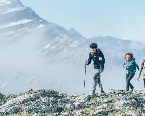
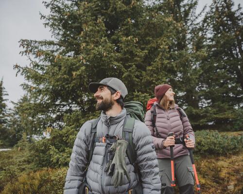
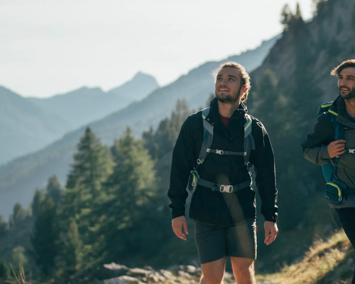
Pe poteci de munte: Ghid pentru începători
Tot ce trebuie să știi dacă îți dorești să începi să mergi pe munte.
Transpirația excesivă (hiperhidroza): ce este, ce cauze are, cum o ții sub control
Cauzele hiperhidrozei Simptomele hiperhidrozei Principalele tipuri de hiperhidroză
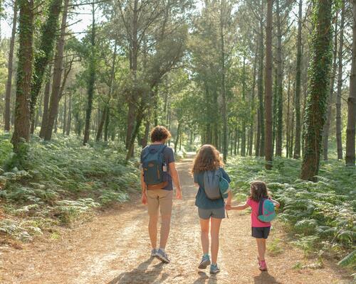
10 motive pentru a merge în drumeție cu copilul
Mersul într-o plimbare sau camparea alături de cel mic face bine moralului și îți permite să reiei activitatea fizică.
CUM SĂ ALEGI ECHIPAMENTUL PENTRU DRUMEȚIA CU RACHETE DE ZĂPADĂ
Drumeția cu rachete de zăpadă vă permite să vă bucurați de cele mai înzăpezite și frumoase peisaje, fără sa vă afundați în zăpada!
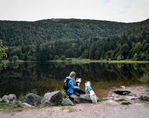
Drumețiile la munte alături de câini
Tot ce trebuie să știi despre drumețiile la munte, alături de câinele tău
CE AR TREBUI SĂ PUI ÎN RUCSACUL DE DRUMEȚIE?
Descoperă în acest articol lista de lucruri esențiale pe care să nu le uiți când pleci în drumeție!
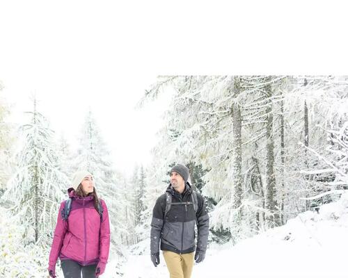
Cum să alegi echipamentul pentru drumeție pe timp de iarnă
Cum alegi echipamentul de drumeție pe timp de iarnă. Reguli de care să ții cont și recomandări inspirate de produs din oferta Decathlon.ro
DE CE ESTE INDICAT SĂ PURTĂM LÂNĂ MERINOS ÎN TIMPUL DRUMEŢIILOR ?
Lâna merinos este o fibră naturală foarte călduroasă și foarte moale, ce oferă nenumărate beneficii.
ECHIPAMENT PENTRU O CĂLĂTORIE CU RULOTA
Află care sunt elementele esențiale pentru o călătorie cu rulota!
Cum să-ți îmbraci copilul purtat în timpul drumeției?
Dacă ții copilul într-o bandulieră/ într-un sling sau într-un marsupiu ergonomic va fi bătut de vânt. Port-bebe-ul constituie deja aproape un prim strat de îmbrăcăminte.
CUM SĂ TE SIMȚI CONFORTABIL ÎN SACUL DE DORMIT
1/ ALEGE DIMENSIUNEA BUNĂ A SACULUI DE DORMIT, PRECUM ȘI O TEMPERATURĂ ADAPTATĂ NEVOILOR TALE 2/ REGLEAZĂ BINE GLUGA 3/ UTILIZEAZĂ O SALTEA
IDEI DE LOCURI PRIETENOASE CU COPIII PENTRU VACANȚA DE IARNĂ
IDEI DE LOCURI PRIETENOASE CU COPIII PENTRU VACANȚA DE IARNĂ
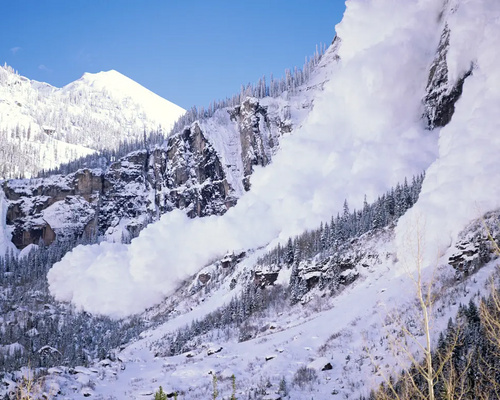
Avalanșele - pericole și sfaturi pentru a le evita
Află cum să eviți zonele predispuse la avalanșă, tipurile de zăpadă care pot provoca alunecări de zăpadă și rămâi în siguranță!
Codul bunelor maniere pe munte
Decalogul de drumeție Decathlon sau cum să te porți pe munte
CUM SE MĂSOARĂ NIVELUL DE RESPIRABILITATE AL UNUI MATERIAL ?
Cum să alegi îmbrăcăminte respirantă?
5 recomandări pentru a te încălzi în timpul drumeției
Atunci când nu ai echipamentul cel mai potrivit sau nu cunoști cele mai importante tehnici, frigul te poate descuraja, iar drumețiile pe timp de iarnă pot deveni adevărate coșmaruri. Regăsești mai jos recomandările noastre pentru a te proteja corespunzător de vremea rece și a te bucura de drumeție în deplin confort.
CUM REDUCEM NIVELUL DE CONDENS DIN CORTURI ?
ANUMIȚI FACTORI FAVORIZEAZĂ APARIȚIA CONDENSULUI: CÂTEVA SFATURI PENTRU LIMITAREA CONDENSULUI LA INTERIORUL CORTULUI:
SPORT PE VREME RECE: CE TIP DE HAINE TERMICE TREBUIE SĂ PORȚI?
De ce să renunți la sport când temperaturile scad? Echipează-te corespunzător cu haine termice și menține-te în cea mai bună formă!
CUM SĂ NE INSTALĂM CORECT CORTUL
1. ALEGE CU ATENȚIE TERENUL PE CARE INSTALEZI CORTUL: 2. MONTAREA BEȚELOR: 3. BAZA CORTULUI TREBUIE SĂ FIE FOARTE BINE ÎNTINSĂ
DRUMEȚIE PE ZĂPADĂ: CIZME SAU BOCANCI?
Factori precum condițiile meteo, dificultatea traseului, zăpada sunt de luat în considerare pentru a ști cum să alegi încălțămintea potrivită în timpul drumeției pe zăpadă. Îți vom spune toate informațiile pentru a vă ajuta să faceți alegerea potrivită!
Alege corect îmbrăcămintea pentru trekking, cu tehnica celor 4 straturi
Pentru a menține căldura și pielea uscată, nu are rost să te îmbraci cu mai multe straturi de același tip: este suficient să asociezi corect îmbrăcămintea potrivită! Regula celor 4 straturi este o tehnică de gestionare a căldurii și de control al umidității.
FURTUNĂ PE MUNTE, CE E DE FĂCUT?
Vara este cu siguranţă anotimpul de care să profităm pentru a face drumeţii pe munte. Cu toate acestea este şi sezonul caniculei şi prin urmare a furtunilor.
MATERIALELE IMPERMEABILE: AFLĂ TOT CE TREBUIE SĂ ȘTII DESPRE IMPERMEABILITATE!
Pentru combaterea frigului și a umidității, tot mai mult au început să fie luate în considerare materialele textile impermeabile, un real adversar al condițiilor nefavorabile ale vremii, care face cu adevărat diferența.
PUF SAU VATELINĂ, CUM SĂ ALEGEM CORECT?
Nu stiţi ce să alegeţi dintre cele două şi aveţi adesea incertitudini în a cumpăra o jachetă cu umplutură din puf sau vatelină?
CUM SPĂLĂM ECHIPAMENTUL DIN LÂNĂ MERINOS?
Lâna merinos este aliatul de nădejde al practicantului de trekking. Iată câteva recomandări simple, pentru a-i asigura echipamentului tău de lână merinos o rezistență mai mare în timp.
Cum să îți întreții cortul?
Pentru a te bucura de cele mai frumoase nopți în natură, urmați sfaturile noastre pentru a prelungi durata de viață a sacului de dormit.
CUM NE SPĂLĂM ECHIPAMENTUL TEHNIC PENTRU DRUMEȚIE ÎNTR-UN MOD SUSTENABIL?
Spălarea echipamentului respectând mediul este simplu și eficient! Descoperă recomandările noastre pentru echipamentul de drumeție, astfel încât să protejezi natura.
CUM TE MENȚII ÎN CEA MAI BUNĂ FORMĂ? 5 SPORTURI DE PRIMĂVARĂ
CUM TE MENȚII ÎN CEA MAI BUNĂ FORMĂ? 5 SPORTURI PE CARE LE POȚI ÎNCERCA PRIMĂVARA
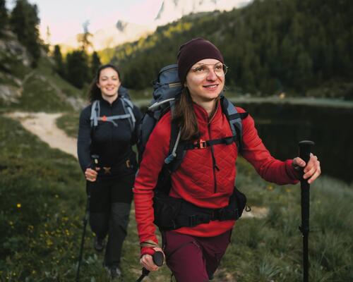
DE CE SĂ UTILIZEZI BEȚE DE DRUMEȚIE ȘI CUM LE POȚI ALEGE?
Bețele sunt foarte eficiente în timpul drumețiilor, acestea reduc riscul de cădere sau rănire. Iată principalele avantaje ale acestora și cum le poți alege.
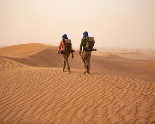
CUM SĂ TE ECHIPEZI PENTRU O SESIUNE DE TREKKING ÎN DEȘERT?
Nu este deloc simplu să știi de la început ce trebuie să iei cu tine în prima sesiune de trekking în deșert! Iată aici o listă care te poate ajuta în a decide ce echipament trebuie să ai în rucsac!
CUM SĂ ÎȚI REGLEZI RUCSACUL DE DRUMEȚIE
Rucsac pentru bărbați sau pentru femei? Cum aleg corect rucsacul pentru drumeție? 20L, 30L, 40L, 50L sau o capacitate mai mare? Cum reglezi corect rucsacul pentru confort optim în timpul drumeției? Repartizarea corectă a greutății în rucsacul de drumeție
Cum să alegi un pantalon de drumeție
Alegerea corectă a unui pantalon de drumeție este importantă pentru a te simți în deplină libertate de mișcare! Urmează toate recomandările noastre pentru a face cea mai bună alegere în privința îmbrăcămintei de drumeție!
CUM SĂ ALEGI SALTEAUA PENTRU BIVUAC SAU CAMPING
Află alături de noi cum alegi salteaua pentru bivuac sau camping și care sunt principalele modele pe care le poți comanda acum online de pe decathlon.ro!
Cum să alegi rucsacul sau geanta frigorifică pentru camping?
Regăsești aici toate recomandările noastre pentru a alege rucsacul sau geanta frigorifică potrivită pentru camping.
CUM SĂ ÎȚI ALEGI UN BINOCLU?
Pentru a alege un binoclu, trebuie ținut cont de 3 criterii principale : amplificarea lentilei, reglajul lentilei și, în cele din urmă, greutatea.
CUM SĂ ALEGI ETUIUL PENTRU OCHELARII DE SOARE?
DE CE SĂ DEPOZITEZI OCHELARII DE SOARE ÎNTR-UN ETUI? CE MODEL DE ETUI ȚI SE POTRIVEȘTE, ÎN FUNCȚIE DE ACTIVITATE?
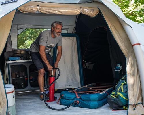
CUM SĂ ALEGI O POMPĂ PENTRU A UMFLA UN CORT SAU O SALTEA?
COMPATIBILITATEA RAPIDITATEA DE UMFLARE FACILITATEA DE UMFLARE
CUM SĂ ALEGI CORECT CORTUL
Trebuie să ții cont de 4 criterii principale: 1. CÂTE PERSOANE VOR DORMI ÎN CORT? 2. OCAZIA DE UTILIZARE A CORTULUI
Cum să alegi încălțămintea de drumeție pentru copii
O bună pregătire a copiilor pentru drumeție înseamnă, înainte de toate, alegerea încălțămintei potrivite pentru aceștia.
CUM SĂ ALEGI CORECT O LADĂ FRIGORIFICĂ PENTRU CAMPING ?
DURATA DE CONSERVARE VOLUMUL COMPACTAREA
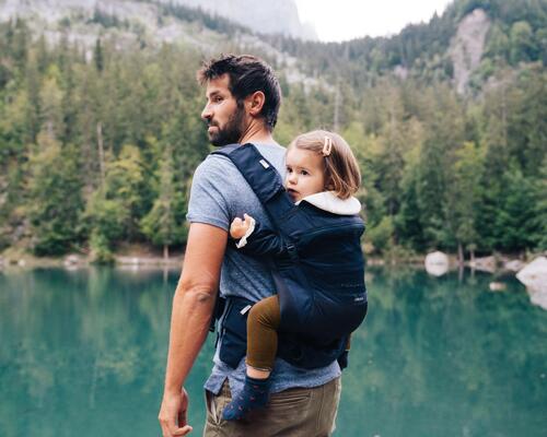
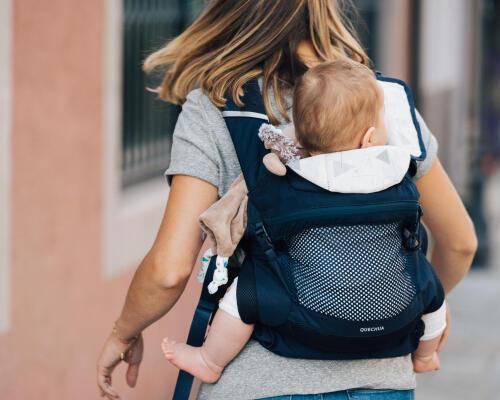
Cum să alegi cel mai potrivit port-bebe?
Iată câteva informații cheie pentru a alege cea mai bună metodă de transport și pentru a ști totul despre un port-bebe!
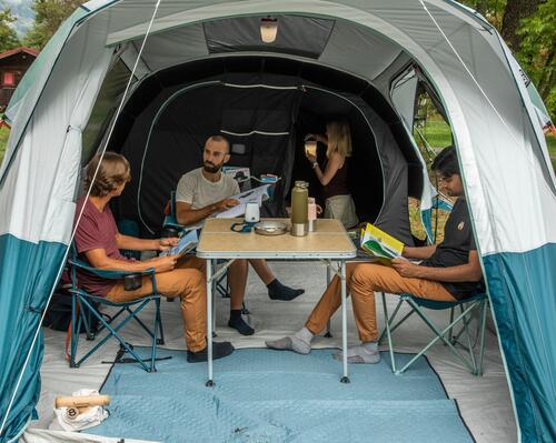
Cele mai bune corturi: Criterii de selecție și recomandări
Alege cortul adaptat nevoilor tale Cum să alegi un cort adaptat nevoilor tale? Marca proprie Decathlon
CUM ALEGI O LANTERNĂ FRONTALĂ
Vă explicăm cum să alegeți lanterna frontală care se va potrivi cel mai bine nevoilor tale.
CUM ALEGI CELE MAI BUNE GECI DE IARNĂ – CRITERII DE CARE SĂ ȚII CONT
Temperaturi de -20 de grade Celsius, vânt puternic și umezeală cât cuprinde: acestea sunt câteva dintre elementele cheie ale unei experiențe în vârf de munte sau ale unei drumeții prin pădure, pe timp de iarnă.
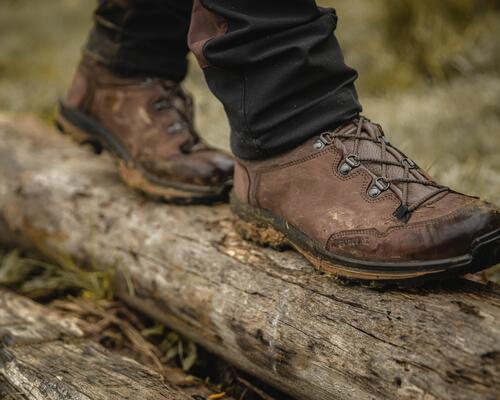
Cum alegem încălțămintea potrivită pentru drumeție sau trekking?
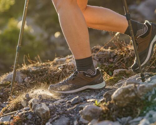
Dacă ești practicant de drumeție sau trekking, încălțămintea este elementul cel mai important din echipament. Alegerea corectă a acesteia este esențială pentru a te bucura pe deplin de practica sportivă. Astfel, pentru tine am realizat un ghid complet care te va ajuta să te încalți potrivit!
CUM NE ALEGEM LOCUL DE CAMPING ATUNCI CÂND PLECĂM ÎNTR-O DRUMEŢIE MAI MULTE ZILE?
ALEGE-ȚI LOCUL PENTRU CAMPARE PĂDUREA REGULILE DE BAZĂ ALE CAMPINGULUI SUNT IMPUSE ȘI LA TREKKING
Cel mai bun sac de dormit: De ce trebuie sa tii cont cand il alegi?
Ai nevoie de un sac de dormit? Iata care sunt cele mai importante criterii de care trebuie sa tii cont pentru a alege modelul potrivit pentru nevoile tale.
ALEGE CORECT OCHELARII DE DRUMEȚIE
OCHELARI 100 % ANTI-UV, CU LENTILE DIN POLICARBONAT ALEGE SUSȚINEREA PERFECTĂ ! PENTRU DRUMEȚIE, ALEGE OCHELARI CU LENTILE DE CATEGORIA 3 SAU 4
Care sunt avantajele lânii merinos ?
Toți sportivii sunt de aceeași părere, calitățile lânii merinos sunt multiple: este călduroasă iarna, ușoară vara, rezistentă, moale și cu o capacitate bună de reducere a formării mirosurilor neplăcute!
ALEGE CORECT PLĂCUȚELE ANTIDERAPANTE
Ești pasionat/ă de drumețiile pe zăpadă, dar, uneori, chiar dacă alegi încălțăminte potrivită, simți că ai avea nevoie de un plus de protecție ca să nu aluneci?
Sport & Second Hand
Află cum poți face sport folosind articole sportive second hand, prelungind astfel durata lor de viață și contribuind la protejarea mediului.
6 EXERCIȚII DE ÎNCĂLZIRE ÎNAINTE DE A PLECA ÎN DRUMEȚIE
BINE DE ȘTIUT ! PARTEA SUPERIOARĂ A CORPULUI PARTEA INFERIOARĂ A CORPULUI
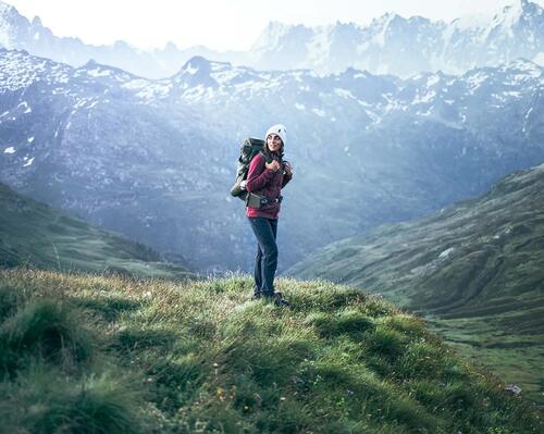
Trasee montane de o zi, pentru incepatori: 10 idei pentru drumetii
Echipament necesar pentru traseele montane de o zi Idei de trasee montane de o zi
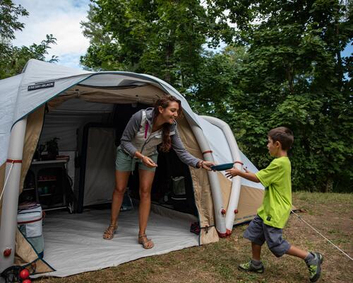
CAMPING ÎN ROMÂNIA – CE PIESE DE ECHIPAMENT NU TREBUIE SĂ LAȘI ACASĂ CÂND PLECI ÎN EXCURSIE CU CORTUL?
1. Echipament minim necesar pentru o excursie cu cortul în 2 persoane 2.Echipament minim necesar pentru o excursie cu cortul în grup de mai multe persoane 3.Accesorii necesare pentru camping, indiferent de numărul de participanți
CE TREBUIE SĂ ȘTII DESPRE DRUMEȚIILE PE TIMP DE PLOAIE
Indiferent că ești sau nu începător în ale drumeției, echipamentul adecvat, o pregătire fizică pe măsură și o doză serioasă de bună dispoziție sunt garanția unei reușite.
CAMPINGURI VAMA VECHE – AFLĂ UNDE SĂ CAMPEZI ȘI CE SĂ IEI CU TINE PENTRU O VACANȚĂ REUȘITĂ!
1.Campinguri Vama Veche – cort , rulota sau căsuțe 2.Campinguri Vama Veche – Top trei locații preferate de turiști
Cum alegi cel mai bun rucsac cu dimensiuni de bagaj de mână?
Pleci curând în vacanță? Descoperă recomandările noastre pentru alegerea celui mai bun rucsac cu dimensiuni de bagaj de mână.
CUM SĂ ÎȚI PREGĂTEȘTI EFICIENT RUCSACUL PENTRU TREKKING?
Secretul unui rucsac umplut eficient?
Comments